
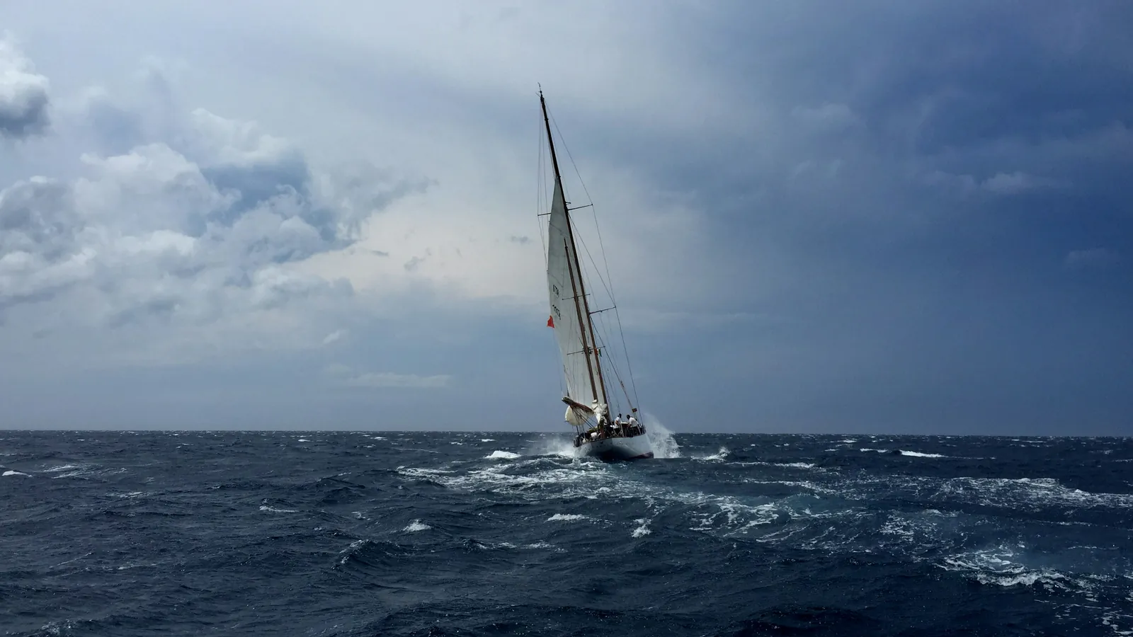
Weather window assessment for sailors: how to know when to go
Assessing the weather window means judging the conditions along your route, over the hours and days you'll actually be sailing. It isn't about hoping for good weather, it's about confirming it before you set off on a passage.
The hard part isn't reading today's forecast; it's knowing what the weather will be doing where your boat will actually be, hours or days from now, and turning that into a single clear decision: go, wait, or divert. This guide covers the factors that decide a GO from a NO-GO, why one forecast model is never enough, and a simple pre-departure routine you can repeat for every passage.
Start with the historical climate, then the weather.
Before assessing any forecast, know the season. Smart voyage planning starts with pilot charts, the historic monthly averages of wind, current, and storm tracks for an ocean region. The U.S. NGA publishes free pilot charts for all oceans. A passage sailed in its optimal season is usually the easier passage, and no forecast turns a January North Atlantic eastbound trip into an easy passage.
The biggest hazards are seasonal too. Crossing an ocean basin during its tropical-storm season stacks the odds against you no matter how clean the coming week looks on a model, because the real threat is the system that has not formed yet. The pilot charts decide which months you should be looking for a route at all. The weather forecast only picks the day inside that window.
Most weather tools tell you what's happening at a fixed point. A passage is not a fixed point. The question that matters is this: what will the weather be at each position along my route, at the hour I will be there? Answering it means projecting the boat's position hour-by-hour and checking the forecast at each future position and time, not just at the dock.
Six things that differentiate a GO from a NO-GO.
A passage call comes down to a small set of factors, evaluated along the entire route.
- Wind speed and angle: Strength matters, but so does direction relative to your heading. 25 kt on the bow is a different passage than 25 kt on the quarter.
- Seas, height, period and direction: Wave height alone tells you little. A 3 m sea at a long period on the beam is workable; the same height at a short period or as confused cross-seas can be punishing.
- Squall and convective risk: Standard forecasts often miss it. Instability metrics like CAPE and Lifted Index flag where squalls can build, before they appear as wind on a GRIB.
- Route chokepoints and shelter: Capes, channels, and stretches with no diversion location change the risk profile. Where are your bail out points if conditions deteriorate?
- Forecast confidence: How much do the models agree, and how far out are you planning? Convergence of multiple weather models itself is a decision input, not something to be ignored.
- Fuel and range: Sailing is usually the plan, but motoring is the backup. Calm winds, foul current, or a closing weather window can force you to motor, so confirm you carry enough fuel, with reserve, to power through light patches, get through rough waves, or divert to shelter.
No single factor decides the call on its own. A passage is judged by the worst conditions you will likely hit along the route, at the time you will actually be there, not by the average of the whole trip or the conditions at the dock. A GO needs all six to line up across the window, and any one of them going bad in a stretch with no shelter can turn the whole passage into a NO-GO.
Why one forecast model is never enough.
Weather models come in two kinds. Deterministic models (GFS, ECMWF, ICON, UKMO, and others) each produce a single best guess, reliable for the first couple of days and then become increasingly uncertain. Ensemble models run many slightly different scenarios; the spread of outcomes is the forecast's built-in uncertainty measure.
A single deterministic run is trustworthy for roughly the first one to three days. Past about 48 hours, small errors in today's analysis grow quickly, and a week or more out you are reading a trend rather than a schedule. A 16-day outlook is useful for spotting a promising stretch, but treat it as a sketch that the shorter-range runs will redraw, not a promise.
The discipline is to cross-check. When the models agree, you can plan with confidence. When they diverge, that disagreement is itself information, because the atmosphere is hard to predict in that situation, so widen your margins. Blending several models, weighted by their historical accuracy at different timepoints, beats trusting any one of them, which is also why a single downloaded GRIB is one model's opinion, not the definitive answer.
Read the sea state, not just the wave height.
Wave height is the headline number, but the motion your boat actually feels comes from period and direction as much as from height. Period is the time between crests. Longer-period waves carry more energy, yet a long, even swell from astern or the beam can be a comfortable ride, while a short, steep sea at the same height is rough on the boat and the crew.
Where the waves come from matters just as much. Wind waves are the local, short-period chop the wind is building right now; swell is the longer-period train that has travelled out of a distant weather system. When trains arrive from more than one direction, the result is a confused cross-sea, which is harder on the boat than any single train of the same height. And what you encounter depends on your own heading and speed, so the same sea is workable on one point of sail and punishing on another. Wave height alone cannot tell you which.
Three ways to assess the weather for a departure call.
Each is a legitimate way to decide when to leave. The right one depends on your training, your route, and how much time you have before you cast off.
| Approach | How it works | Best for | Typical cost | Limitation |
|---|---|---|---|---|
| Do it yourself | Download GRIBs, cross-check models, read the synoptic chart, judge CAPE and sea state by hand. | Sailors with meteorology training and time before departure | Free | Demands skill and hours you often don't have at 05:00 before a 07:00 start. |
| Professional weather router | An experienced human reads the weather for your boat and calls you with a recommendation. | Major offshore passages and ocean crossings | ~$50–$200+ per passage | Fees, availability, and response times vary. |
| AI passage assessment with WeatherWindow.AI | Live model output run through structured calculations on your boat's hourly position; AI summarizes whether to go in plain English. | Sailors who want a fast, boat-specific call on every departure | Subscription; first 3 passage analyses free | Decision-support, not a routing service. It assesses your route; the skipper still makes the final call. |
You don't have to pick just one. Plenty of experienced sailors do their own homework, lean on a router for the big ocean legs, and use a fast boat-specific assessment for everything in between. AI passage assessment shows how that last option works in practice.
A simple pre-departure routine.
Running the same routine every time beats deciding from scratch. Run these five steps before every passage.
- Pilot Charts: Confirm you're in the right season for the route using pilot charts. Pilot charts determine the season to look for the weather window. The weather forecast determines the actual day.
- Long-range outlook: Scan the 7–16 day picture to find the rough departure window.
- Narrow the window: Compare models for your candidate days. Note where they agree and where they diverge.
- Make it boat-specific: Project position over time for your hull and speed; check wind angle, sea state, squall risk, and shelter along the route.
- Decide, then re-check underway: Depart on the best window and re-assess the remaining legs from your live position as fresh forecasts come in.
Go, wait, or divert.
The decision is rarely a clean yes or no. In practice there are five calls. GO when the window is clear. CAUTION when you can go but should widen your margins and plan to reef early. MARGINAL when the window is so thin that a small shift in the next forecast would flip it. NO-GO when the right move is to wait. The fifth call only appears once you are underway. DIVERT, when the conditions ahead no longer support the plan and the safe choice is to seek shelter.
Whichever call you make has a shelf life. A window assessed three days out is a forecast that is not set in stone. Re-check it again before you leave the dock and again from your live position as an updated model lands underway, because the new forecast will affect the parts of the passage you haven't sailed yet. The go/no-go method walks through how to weigh each factor into that single call.
One call for every passage you plan.
WeatherWindow.AI runs the entire six-factor window check for you, route-wide and hour-by-hour. It projects your boat's position over time and, at each point along the way, assesses the wind, the sea state, the squall risk, your fuel margin, and how much the models agree, then weighs them together into a single call. A 7-model wind and 4-model wave forecast, marine forecasts, and AI-read synoptic charts all feed that assessment. The result is one clear recommendation backed by its reasoning, GO, CAUTION, MARGINAL, NO-GO, or DIVERT. You see the source data behind every assessment, and you make the final decision.
Passage weather questions, answered.
What is weather window assessment for sailors?
It's judging whether the conditions along your route, over the hours and days you'll actually be sailing, support making the passage safely and comfortably. It weighs the weather along the route over time, not at a single point, and turns it into a clear go-or-wait call.
How far ahead can you forecast a passage?
Single deterministic models are reliable for roughly 1–3 days. Beyond 48 hours, uncertainty grows quickly; ensemble models and confidence bands become more useful, and a 16-day outlook should be read as a trend, not a guarantee.
Why compare multiple weather models?
Each model has different inputs and assumptions. When they agree, confidence is high. When they diverge, that's a signal to widen margins and wait for the next update.
Is wave height enough to decide if a passage is safe?
No. Period and direction relative to your heading matter as much as height. A tall, long-period swell on the beam can be comfortable; a shorter-period or confused cross-sea at the same height may not be.
Do I still need a professional weather router?
For major ocean crossings, a professional router is the gold standard and worth it. For routine coastal and inter-island passages, many sailors use both.
Can AI assess a sailing passage?
WeatherWindow.AI can run live model data through structured, boat-specific calculations and summarize the result as a clear recommendation. It's decision support that assesses your intended route. It is not a routing service, and not a replacement for the skipper's judgment or official marine forecasts.
Keep reading.
New to the idea? Start with what a weather window is and how to read one. To go deeper, see how to read marine forecasts and squalls offshore, or plan for your own boat with the monohull and catamaran guides.
References and further reading.
- NOAA National Weather Service: Significant wave height
- NOAA National Severe Storms Laboratory: Thunderstorm basics
- Royal Yachting Association: Passage planning
- Australian Bureau of Meteorology: Waves and swell
WeatherWindow.AI is a decision-support tool that assesses your intended passage. It is not a weather routing service. It does not replace official marine forecasts, a professional weather router, or your judgment as master.